The Babingley River begins its 20 km journey near Flitcham in northwest Norfolk and flows until it meets the Great Ouse near King’s Lynn.

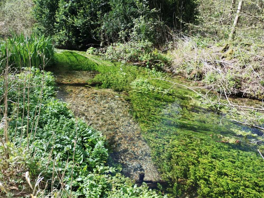
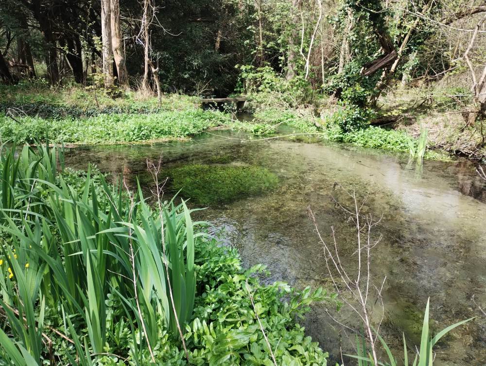
The Babingley is fed by a series of springs in its upper reaches, providing chalk-rich water that characterises the river and its distinctive biodiversity, including water crowfoot, fool’s watercress, water vole, bullhead, dace and stone loach. The upper reaches, or headwaters, are well protected by woodland, marshland and fen along the riverbanks. In some reaches, the Babingley is considered one of the finest chalk stream examples in all of Norfolk.
In its lower reaches, below the A149, the human-influence on the Babingley becomes more apparent. The channel has steep embankments, limiting its ability to spill onto its natural floodplain. This affects plant and invertebrate species that rely on wet river margins. These reaches are also subjected to sediment loading from roads and adjacent farmland.
Historically, it was modified to power mills, leading to straightened sections and weirs that have impacted fish migration.
One of the Babingley’s tributaries, the River Cong, once powered a mill at Congham that processed whale oil made from blubber landed at King’s Lynn. Because the smell must have been appalling, the mill stood well away from nearby homes! Any leftover whale bones were sent to the bone mills at Narborough, where they were ground into fertiliser.
Today, two mills still influence the channel: Castle Rising corn mill and West Newton paper mill (now a private residence). A few smaller sluices and weirs have also survived, forming barriers to the movement of certain fish species.
Efforts have been made to reverse historical damage. For example, at Hillington, an online lake was restored to a natural river channel, and a rock ramp was installed to improve fish passage. Additionally, five metal weirs that once controlled the flow for fishing were removed by Norfolk Rivers Trust in 2015.


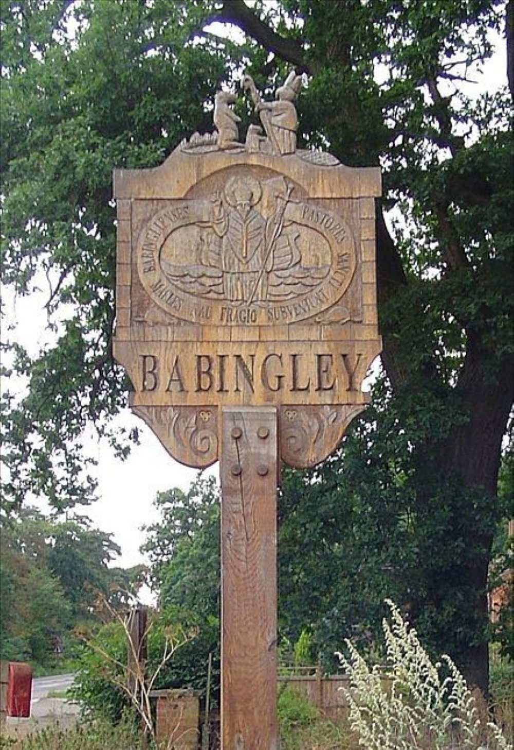
The Babingley holds a special place in local folklore. According to medieval tales, this is where St Felix of Burgundy, the first bishop of East Anglia, was shipwrecked in AD 615. Cast adrift while sheltering from a storm at sea, St Felix was rescued not by sailors, but by a beaver, which safely carried him to shore. In gratitude, St Felix is said to have ordained the animal as a bishop. This story is commemorated on the Babingley village sign, which shows St Felix ministering to the beavers around him.

