The River Mun, also known as Mundesley Beck, is a small river in north-east Norfolk, flowing for nearly 8 km in an east south-easterly direction parallel to the coastline, before turning abruptly north-eastwards to discharge its waters into the North Sea at Mundesley.
The River Mun has an inconsistent source, sometimes flowing from a ditch between Northrepps and Frogshall, but often beginning as treated effluent from the Northrepps Sewage Treatment Works (STW).
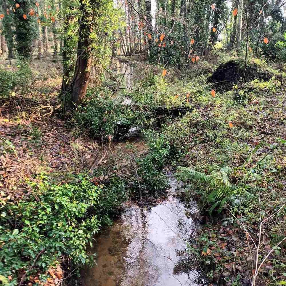
It initially flows a short distance through woodland before entering 'Little Broad', a large pool. From there, the river continues its journey through the village of Gimmingham, passing through a series of historic mill ponds, before running through the Mundesley Golf Club grounds and into the seaside town of Mundesley.
The amount of water derived from the Mun's river catchment is lower than would be expected because of the river's proximity to the coast. This location causes groundwater to be lost directly toward the sea, instead of draining exclusively into the river.
The Mun has been extensively modified over time through multiple obstructions and channel straightening. These changes have significantly reduced its historic length and, consequently, the availability of diverse riverine habitats; no natural sections of the channel remain. Additionally, many of the channels have been deepened and embanked, restricting the river's crucial ability to interact with its floodplain.
These modifications, particularly the disconnection of the floodplain, have drastically diminished habitat variability. The lack of meandering channels and limited tree cover (to provide natural woody material) further reduces ecological diversity. The result is a uniform, artificial channel that offers little in the way of varied aquatic or riparian habitats.

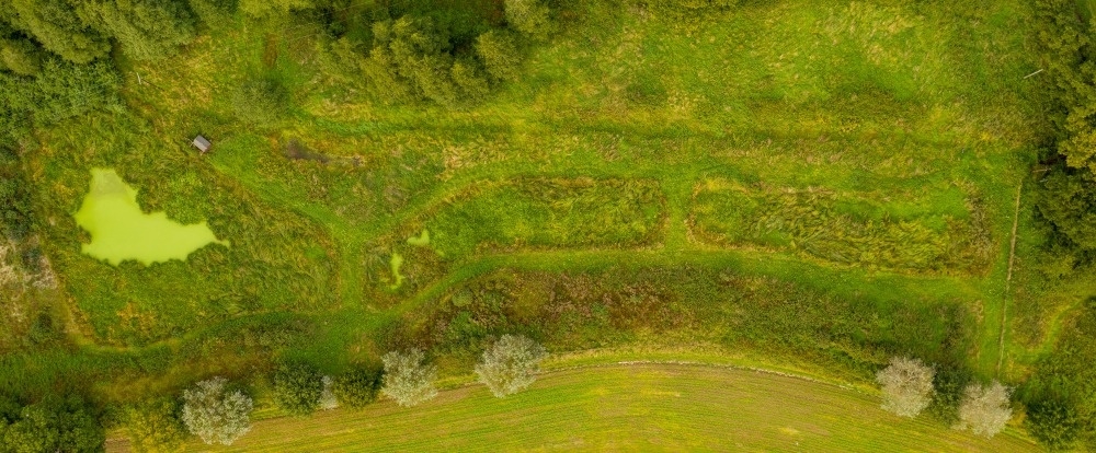
In 2015, we created a natural treatment wetland to clean water flowing from Northrepps STW.
Building on that success, we recently developed a River Mun Catchment Plan. This plan outlines key steps to improve the river's health, specifically focusing on: restoring riverside habitats (riparian buffers); increasing biodiversity through improving habitat connectivity; modifying or removing obstructions; and reducing pollution from septic tanks, agriculture and road runoff.