The River Wissey begins as a small chalk-fed stream, rising at Shipdham, near Bradenham in Norfolk. The Wissey flows in a westerly direction for 35 miles through the villages of Necton, North and South Pickenham, Great Cressingham, Bodney, Ickburgh, Didlington and Northwold. Below Whittington, the Wissey becomes part of the South Level fenland basin drainage system, where water is pumped and lifted into an embanked river. This system is supported by the Cut-Off Channel, constructed between 1954 and 1964 in response to flood events in the 1930s and 1940s. The channel diverts water northward, preventing flooding of the low-lying fenland. After passing through the Fens, the Wissey joins the Great Ouse at Fordham.
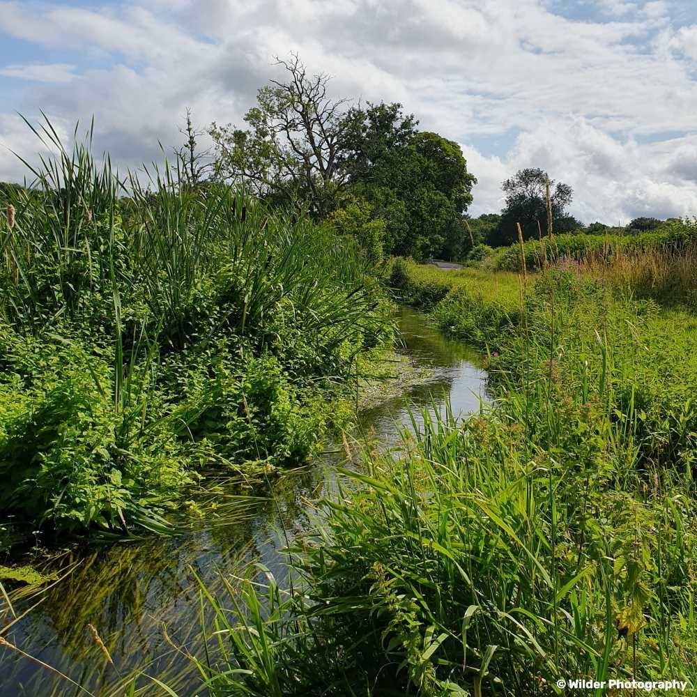
The Watton Brook, Thompson Stream and West Tofts stream all feed into the main River Wissey channel. The sub-catchment is predominantly rural, with the main land use being agricultural. The Wissey is a crucial water source for both public supply and irrigation.
The upper reaches of the Wissey and Watton Brook tributary consist of a clay base. This means that they are more susceptible to “flashy” overland flows in the event of heavy rain. This underlying geology means that the impacts of anthropogenic modifications – such as canalisation of the channel – are more severe and that extreme flows, rather than being stored within wetlands in the upper reaches, are funnelled down the river leading to increased risk of flooding downstream.
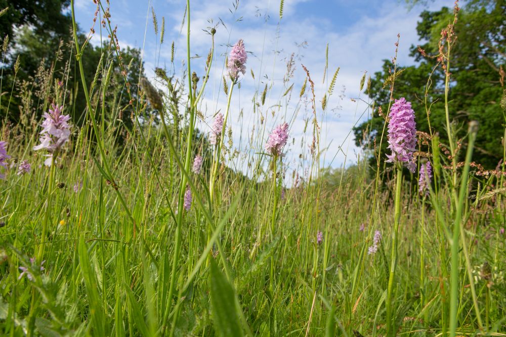
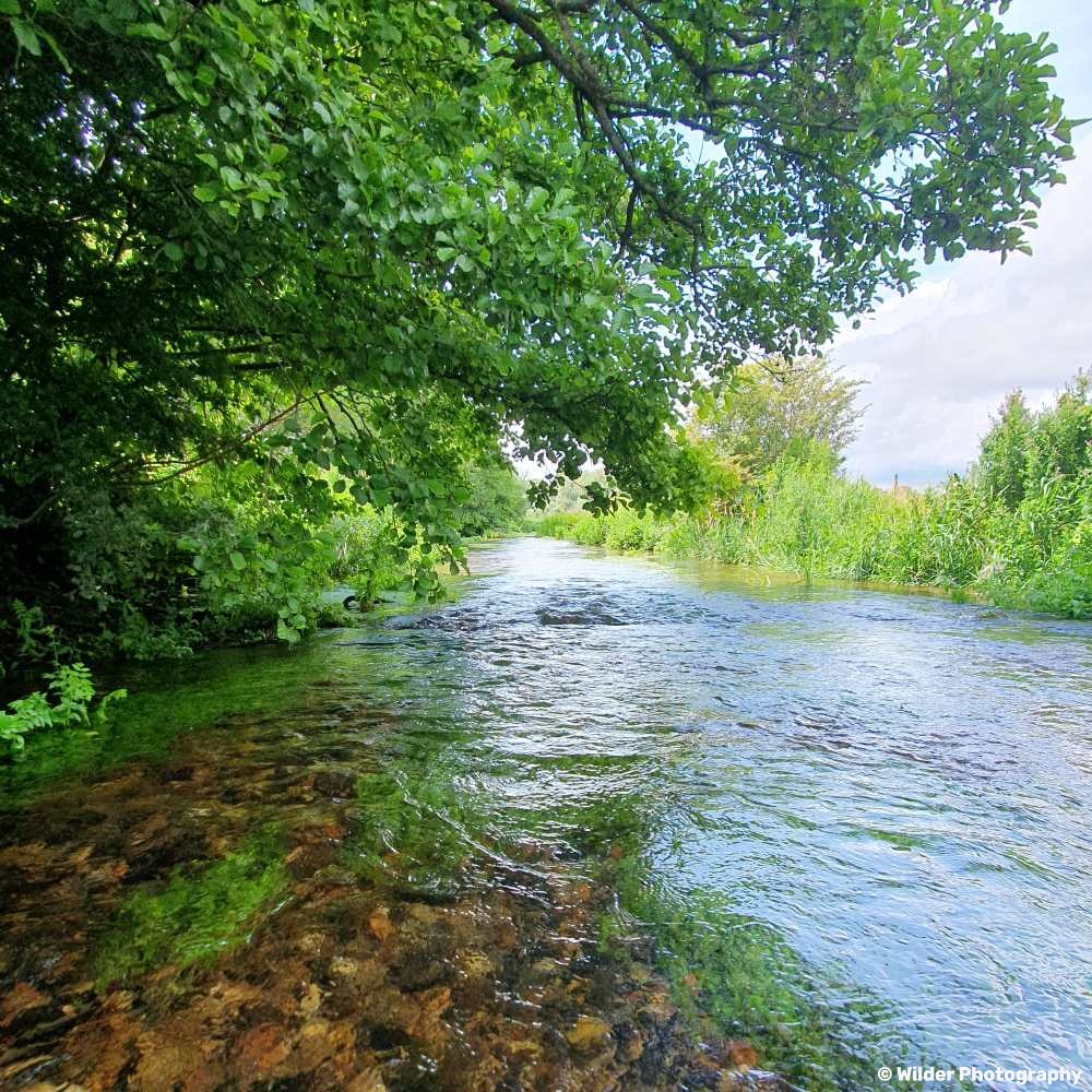
Below the lower reaches lies an extensive chalk aquifer which provide steady flows, consistent temperatures and mineral rich waters, underpinning the unique ecology of the river.
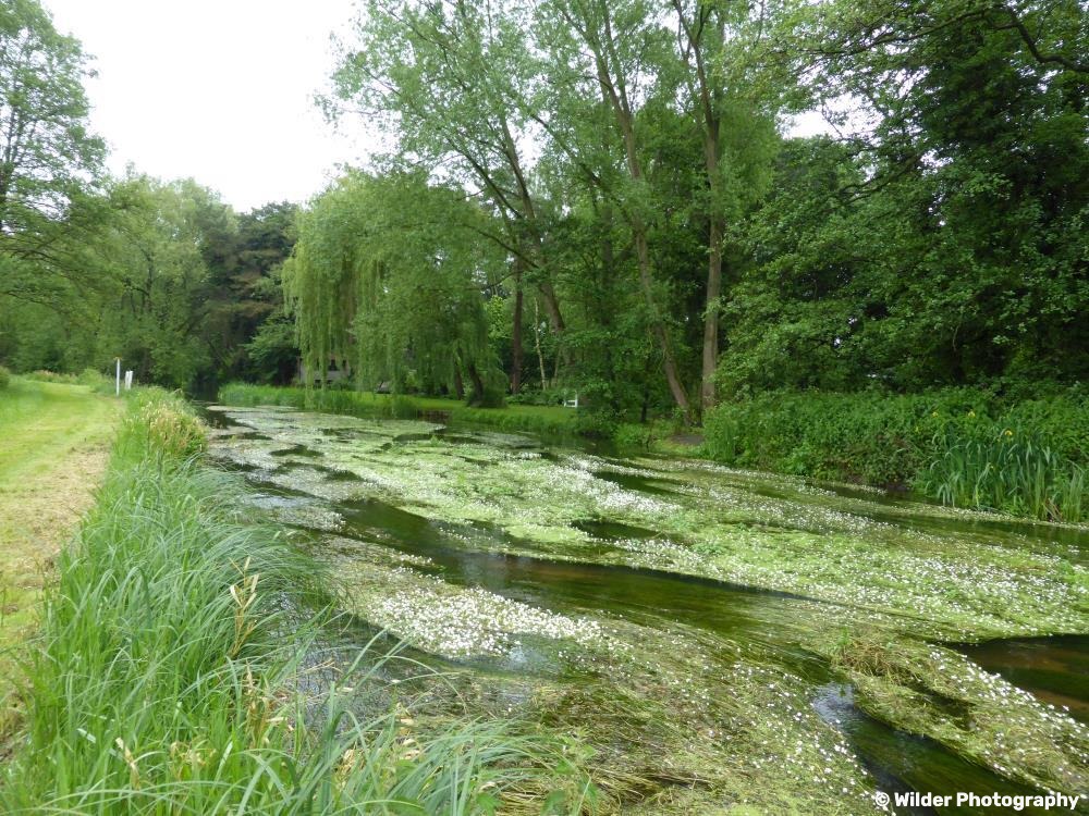
While most of the upper and lower Wissey has been classified as having ‘moderate ecological status’ (WFD, 2022), it nevertheless holds high conservation value and potential. Thompson Stream, which remains unmodified along some stretches, provides a tantalising glimpse of the river’s true self-sustaining nature, highlighting its potential for future restoration possibilities.