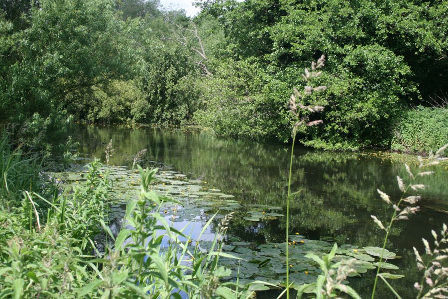
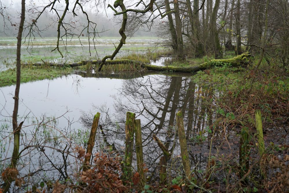
The River Wensum is the largest chalk-fed river in Norfolk, and paradoxically is a tributary of the River Yare despite being the larger of the two. The entire river is designated as a Site of Special Scientific Interest (SSSI) and a Special Area of Conservation (SAC), reflecting its vital role in supporting a diverse range of flora and fauna.

Taking its name from the Old English adjective “wandsum” or “wendsum,” which means “wandering,” the Wensum’s source can be found between the villages of Colkirk and Whissonsett. From here, the Wensum winds its way for 30 miles through rich agricultural land and various urban areas, including the market town of Fakenham and Pensthorpe Nature Reserve.
In its lower reaches, the river forms part of the Broads National Park.
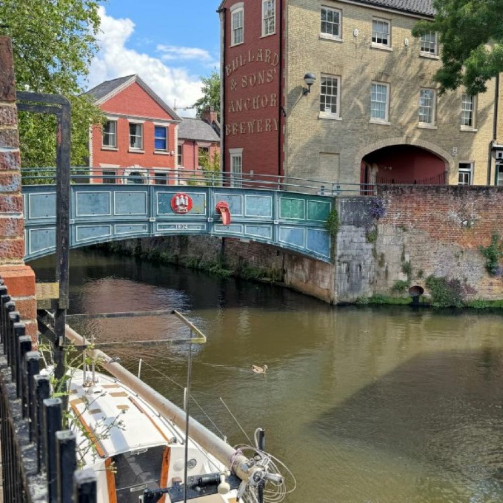
Eventually, it enters the city of Norwich, passing Carrow Road football ground, before merging with the River Yare at Whitlingham.


Historically, the Wensum was an important transportation route, particularly for trade and agriculture, and the river remains navigable from New Mills Yard in the centre of Norwich. It is fed by various tributaries, including the Tat, Tud, Wendling Beck and Blackwater Drain.

